
Previous Story
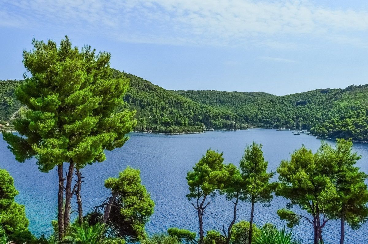
Greece Closer to Mapping Out All Forest Land
Posted On 28 Dec 2022
Comment: 0
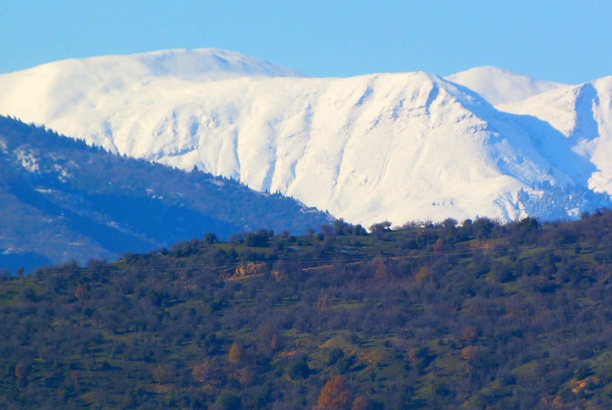
The Greek environment ministry announced this week that approximately 90 percent of the country’s forest land had been mapped out and that it would be accelerating procedures concerning examination of objections.
No timeline has been set however concerning the creation of valid forest maps outlining areas protected under forest legislation. The new maps come after the country’s Forest Cadaster created in the 1970s and replaces Forest Service designation status.
According to the ministry, certain forest areas can maintain agricultural use if they are subsidized by the EU.
“The sanctioning of forest maps ends a decades-long backlog, effectively protects the environment and clearly demarcates the areas to which forest legislation applies,” said Environment Minister Kostas Skrekas.
The minister added that citizens will be able “at a touch of a button” to get information regarding forest land use and capabilities.
In the meantime, the ministry said it was currently examining thousands of acres of cleared or excavated forest land to assess damage and weigh economic benefits.
In this direction it has also commissioned relevant studies.
The ministry goes on to add that it has set up a total of 116 committees to examine 332,000 objections raised over 10 percent of the country’s forest land.
“The formulation and approval of dependable forest maps is of immeasurable environmental value and a key infrastructure project of pre-investment nature absolutely necessary for citizens and the economy,” said the ministry.
Commenting on the news, Deputy Environment Minister Giorgos Amyras said forest maps ensure the protection of Greek forests, safeguard citizens’ property, do away with bureaucracy and free up investments in a transparent, legal manner.