


Previous Story
Volcanic Island Nisyros Aiming for UNESCO Global Geopark Status
Posted On 02 Aug 2022
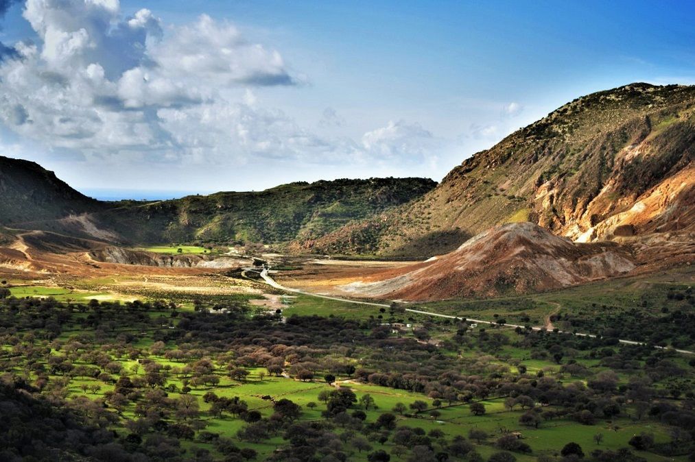
Photo source: nisyrosgeopark.gr
The Municipality of Nisyros has initiated a nomination process for the inscription of the volcanic island on UNESCO’s Global Geoparks Network list.
Speaking to the Athens News Agency, the island’s mayor, Christofis Koroneos, informed that the municipality’s efforts for the inclusion of Nisyros and its surrounding islets on UNESCO’s Global Geoparks Network list began 18 months ago and is now in its final stage.
“We are ready to welcome UNESCO’s judging committee to Nisyros in October to announce their decision,” Mayor Koroneos told the news agency.
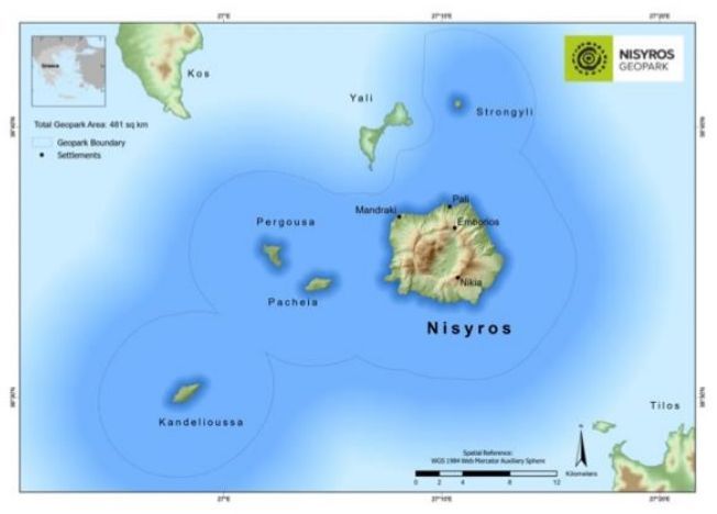
The Nisyros aspiring UNESCO Global Geopark occupies a total area of 481 km2 within the southeastern part of the Aegean Sea. It features exceptional onshore and offshore geomorphic features.
Source: globalgeopark.org
The surrounding islets are Strongyli, Pachia, Pergousa (volcanic) and Kandeliousa (non-volcanic). The marine area between them consists of basins and ridges with volcanic fractures, craters, lava flows, hummocks and volcanic domes, representing the continuation of the volcanic relief onland below the sea.
The volcano of Nisyros is located in the village of Nikia and has a total of five craters. The largest crater is “Stefanos” and measures 260 meters in diameter and 30 meters deep.
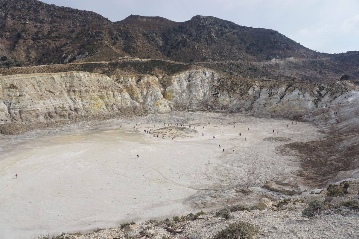
Photo © GTP
The five craters of the volcano form the Lakki plateau of 110m above sea level to the east. The Lakki plateau was created by the volcano eruption in 1552.

Photo © GTP
Digital guide, info point
The municipality recently launched a digital guide for the hydrothermal fields of Lakki aiming to introduce visitors to the island’s volcanic craters.
Also, a new info point is soon expected to open at the port of Nisyros to provide information to visitors about the Lakki plateau and the nearby islets of Strongyli, Pachia, Pergousa and Kandeliousa.
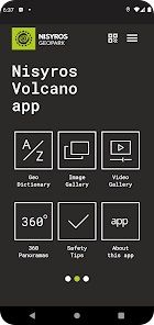
Mobile app promotes Nisyros’ geopark
The Municipality of Nisyros has also launched a mobile application that offers information and digital guided tours to the island’s unique geological heritage and active volcanic craters.
The Nisyros Volcano app gives users the opportunity to explore the island’s craters through impressive audiovisual material including high-quality 360o panorama photos and drone shots, 2D and 3D high-resolution interactive maps featuring information about the evolution of Nisyros’ volcanic activity.
“A pioneering digital guide featuring modern, user-friendly design will further support Nisyros’ nomination for the UNESCO Global Geoparks Network, and offer essential information to residents and tourists on the significance and value of the island’s diverse geological legacy,” the municipality said in an announcement.
The app is available on Google Play and the App Store.


If I pay real estate taxes on my property in Nisyros, can I vote in the mayoral election?