
Previous Story
Athens Transport Organization Launches New Interactive Map for Commuters
Posted On 20 Sep 2021
Comment: 0
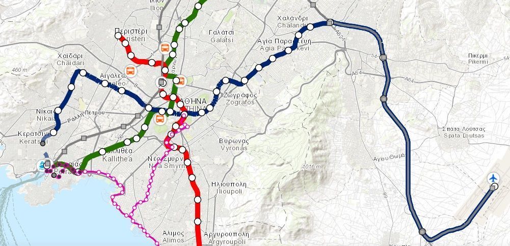
The Athens Urban Transport Organization – OASA has launched an interactive map offering essential information to commuters about the Greek capital’s transport network.
The organization presented the digital map during the 85th Thessaloniki International Fair (TIF) that was recently held in the northern port city.
“Aiming to upgrade the services offered to commuters, the organization is taking a step further, towards its full digitalization, with the creation of this interactive map that is offering direct and easy access to information on Athens’ urban transport network,” OASA CEO Nikos Athanasopoulos said during the event.
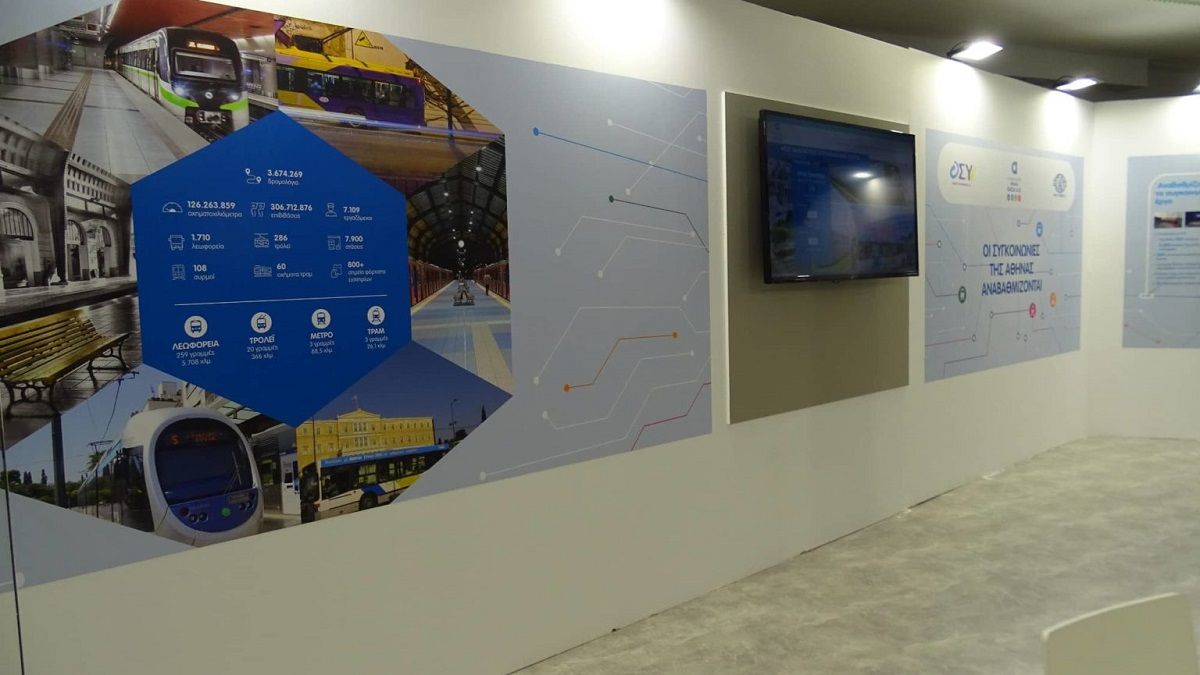
The pavillion of OASA at the 85th Thessaloniki International Fair.
The map offers useful information on Athens’ public transport network including buses, trolley buses, the tram and metro lines.
Based on the Geographic Information System (GIS), it also provides commuters with information on:
– Athens’ main transport network and stops for buses, trolley buses, metro and tram
– stops accessible to people with disabilities
– OASA’s ticket points
– connection hubs with the suburban railway, the intercity KTEL bus stations, the Piraeus port and Athens International Airport
– cultural and entertainment points.
Furthermore, the map includes a real-time arrival information system.
OASA’s interactive map is available here.