
Previous Story
Ministry Pre-approves Spatial Plan for Fire-damaged Areas in Rafina, Nea Makri
Posted On 28 May 2019
Comment: 0
Tag: Eastern Attica wildfires, fires Greece, Greece blazes, Greece fire brigade, Greece fires, Greece prevention, Greece summer fires, Greece tourism and travel, Kallitecnoupoli fires, Kineta, l271l, l279l, Mati, Mati fire, natural disasters, Rafina, Rafina fires, Rafina Port Authority, RescEU, Voutzas, wildfire devastation Eastern Attica, Wildfires, wildfires Greece, Zouberi
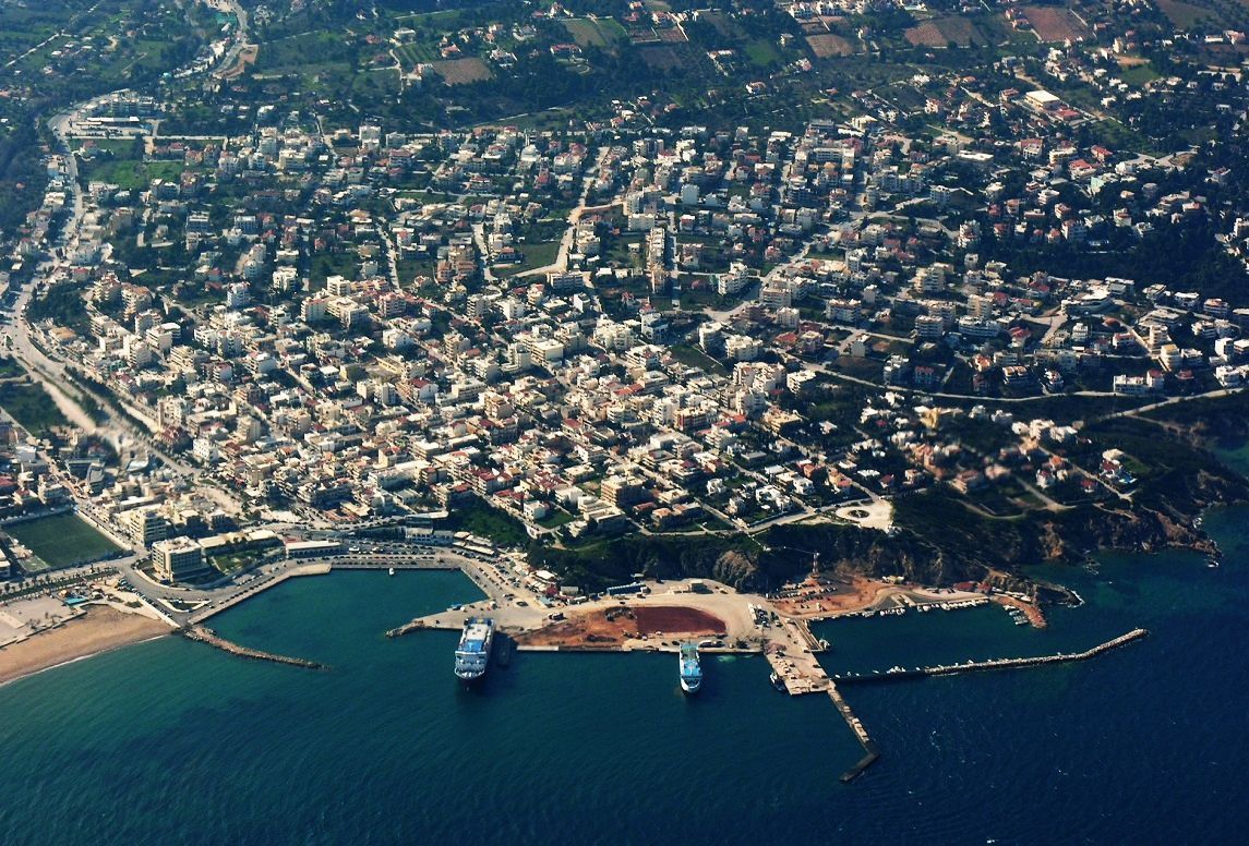
Rafina port (aerial archive photo). Source: @Rafina Port Authority
The Greek environment ministry announced recently that it had temporarily given the green light to a spatial plan to be implemented in the Northeastern Attica municipalities of Rafina and Nea Makri, paving the way for the reconstruction and redevelopment of the areas ravaged by last July’s fatal fires.
Drawn up by the ministry’s Athens-Attica Metropolitan Planning Department in collaboration with urban planning experts, the proposal was submitted following public consultation with the affected municipalities and local committees.
Mayors and officials of the affected areas met on Tuesday to discuss the plan which focuses on three key areas: setting boundaries for interventions, defining the use and character of the affected land / intervention area, and setting the building terms in intervention area.
In the pre-approval stage, a set of spatial planning principles have been laid out to serve as a guide for the study which includes examination of natural environment, land use, connection of residential areas and free spaces, roads and traffic, coastal front, forests, and streams.
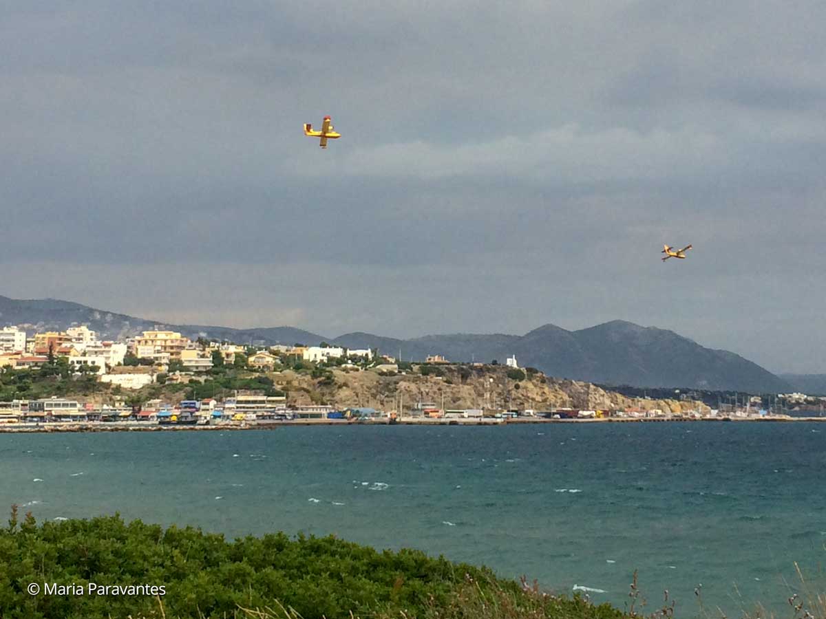
Canadair fire-fighting planes diving into the port of Rafina. July 2018. Photo: Maria Paravantes
The ministry is expected to table the final plan in the coming days.
The fires that broke out in July 2018 devastated the coastal towns of Mati, Zouberi, Nea Makri, Kallitechnoupoli, Neos Voutzas and Rafina, burning down a whole community in the area, vast forest land and leaving behind 102 dead and dozens injured.
Despite this, Greece decided last week (May 22), not to participate in the European Commission’s new rescEU program which launched its first fleet of firefighting aircraft and is aimed at enlisting the help of member states to respond to wildfires and other natural disasters.